Who We Are

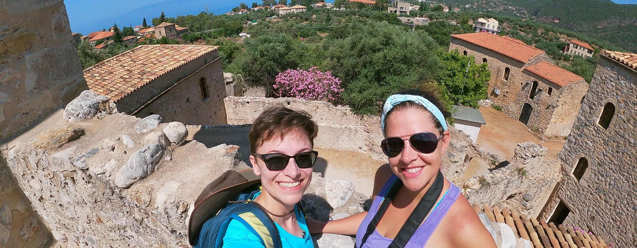
Dr. Rebecca Seifried
Becky Seifried is a Geospatial Information Librarian at the University of Massachusetts Amherst. Her research focuses on settlement patterns in Mani during the Byzantine and Ottoman periods. She continuously impresses her colleagues with her map-making and organizational skills. She loves churches and exploring almost as much as she hates spiders.
Dr. Chelsea Gardner
Chelsea Gardner is an Assistant Professor of Ancient History at Acadia University in Nova Scotia, Canada. She works on Mani in classical antiquity, from the Archaic through Roman periods. She has big ideas and little patience. She loves adventure and dogs – and, really, all animals, with the notable exception of spiders.
What We’re Doing
Walking, sweating, mapping, dodging insects, hitchhiking, recording, and writing!
Our project documents and recreates the routes that travellers took through the Mani peninsula – from Pausanias, a 2nd century CE Roman travel-writer to the Leigh Fermors, a photographer-and-author couple who documented their first trip to Mani in the 1950s. Most of our travellers used a combination of boats, donkeys, horses, vehicles, and their own two feet to move around the peninsula, and we are replicating their routes as best we can.
First, we track down the written accounts of their travels, noting each place they stop and the landmarks they pass. These become our ‘waypoints’ that we plot on a map. Then, through a series of GIS analyses that rely on the pre-modern paths we painstakingly mapped out, we generate a series of probable routes they might have travelled. Finally, we groundtruth those hypothesized routes! Armed with cameras, GPS devices, notebooks, water, and spider-deterring sticks, we hike through Mani in an attempt to better understand the temporal, physical, and emotional experience of moving through this harsh – yet beautiful – landscape.
Where Our Project Takes Place
The location of our project is right there in the name: Cataloguing Routes and Travels in the Mani peninsula! Mani is the modern name for this place, and it is located within the prefectures of Lakonia and Messenia in Greece.
What makes the Mani peninsula so special? Well, it is the southernmost point of the Greek mainland and the second most southerly point of continental Europe (after the Punta de Tarifa in Spain). Being the central of three peninsulas that project into the Mediterranean Sea has earned it the affectionate nickname of ‘the middle finger’ of the Peloponnese. In classical antiquity, the famous sanctuary of Poseidon at Tainaron was located on the southern tip of Mani and marked the mythical entrance to the Greek Underworld. This tiny region has the highest density of churches in all of Greece. The capital of the region was renamed Areopolis (the ‘city of Mars’) after the fierceness of its inhabitants, who engaged in intergenerational vendettas between tower-villages, were rumoured to be notorious pirates, and were credited with sparking the Greek War of Independence. This fierceness is reflected in the landscape itself: Mani is mountainous, rugged, windy, arid, and generally a difficult place to access by land.
For us, this is what makes recreating the routes of travellers through the Mani peninsula so fascinating. Explorers and geographers faced obstacles at every turn, from the harshness of the land, to the heat of the Mediterranean sun, the lack of reliable fresh water, the remoteness of the settlements, and the uncertainty of the unknown. We wanted to know, as much as possible, what the experience of moving through this landscape was like for those brave enough to try.
How This Was Made Possible
The first field season of the CARTography Project (Summer 2019) was funded by the Archaeological Institute of America’s Oliver C. and Anna C. Colburn Fellowship. Funding for conference travel and website design was awarded through Acadia University. The website is created and maintained by Isaiah Hickson, a Computer Science student at Acadia University and Research Assistant for the CARTography Project. Research was made possible through the National Library Archives in Edinburgh, Scotland, and through permission by the Leigh Fermor Estate. Fieldwork was conducted with the help of Maria and Panagiota Koilakou, Ilias Diakoumakos, Rhett Riley, Eleni Kouvari, Stavros Androutsakos, Father Georgos Georgariou, and the kind people of Mani who fed us figs, offered us water, shared their local histories, and picked us up while we hitchhiked back to our car. Accommodations, meals, advice, and laughs were provided by the Koilakos family at the Panorama Hotel in Pyrgos Dirou.